Mapping principle of MLS
In laser mapping using a LYNX sensor, the laser beam is continuously deflected 360° across the driving direction by a rotating mirror. As the mapping vehicle moves forward, an object space along the driving path is sampled. The distance to the object surface is determined by runtime measurement. The position and orientation of the sensor in space is determined by means of GPS (Global Positioning System) and INS (Inertial Navigation System). This information, combined with the mirror angle measurement, allows calculating for each reflected laser pulse its position, i.e. its easting, northing and altitude on the object surface.
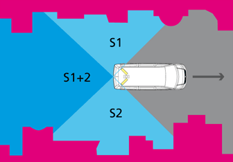
Sweeping zone of sensors
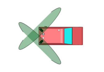
Sweeping angle of sensors