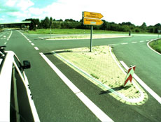
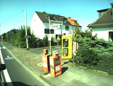
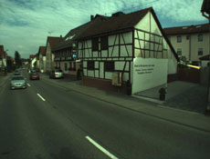
Image data
The simultaneous collection of image data that can be georeferenced facilitates the interpretation in subsequent evaluations or allows the generation of an RGB point cloud. The wish to obtain image data, however, limits the data collection capabilities of laser scanners (e.g. due to darkness, cloud cover, ...).
 |
 |
 |