Web GIS
The vectorization of the point cloud, i.e. it’s transformation into traditional CAD or GIS products, requires today a great deal of manual effort.
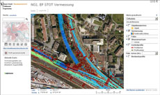
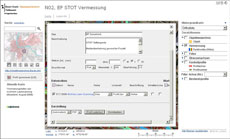
As an alternative, the point cloud – which is the actual carrier of the mapped information – can be stored in a database system and made available to users. In this way, different users can carry out analyses and use the original data for their task in hand. As there is no previous processing, no important characteristics are lost.
 |
 |
 |
Source: Verkehrsdepartement Kanton Basel-Stadt