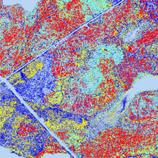
Vegetation
One of the benefits of laser mapping is the recording of multiple reflections. In forested terrain in particular, it allows the simultaneous mapping of forest ground and treetop surface. The collected data can be further processed and used e.g. for forestry and silviculture applications (forest inventory, forest taxation). The direct and derived results include:
- Terrain shape, slope orientation, slope inclination
- Tree height, treetop diameter, vegetation heights
- Edges of woods, limits of vegetation, stock identity
 |
 |
 |
||
|
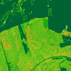
Vegetation heights |
Forest height classes |
Number of pulses in forested terrain |