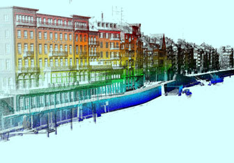
3D point cloud
The principal result of an MLS project is a georeferenced point cloud composed of a large number of coordinates (easting, northing and altitude) of the laser beam reflection points on the object surface. The point cloud describes the geometry of the mapped objects and is normally the starting point for deriving further products or analyses.